Technical data
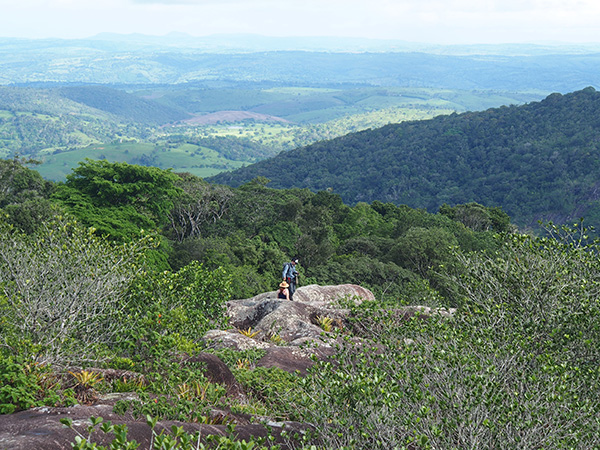
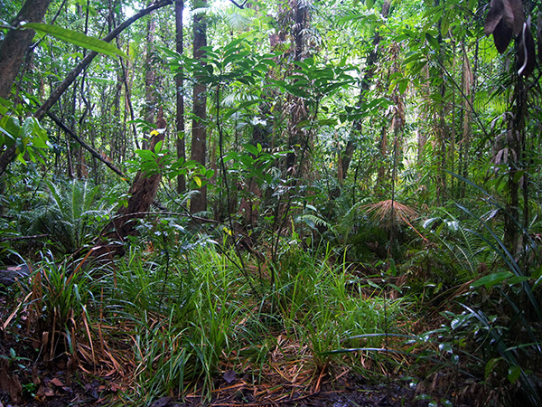
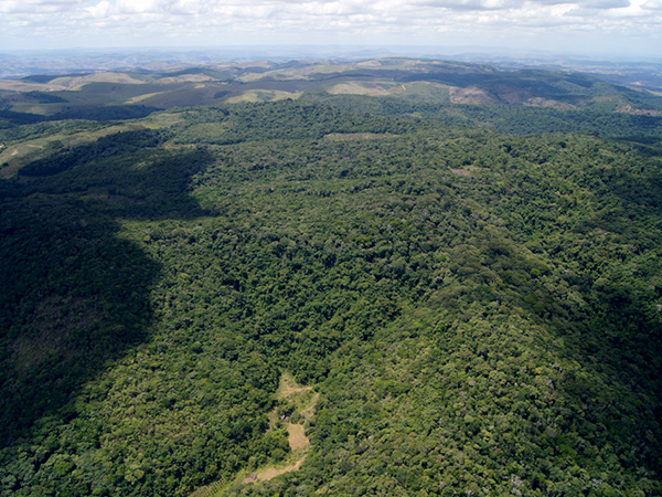
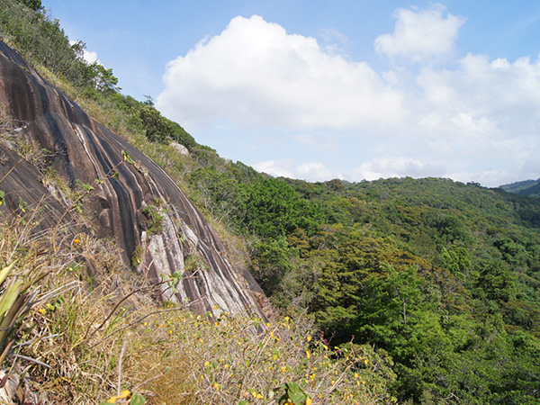
The Biological Reserve of Pedra Talhada is located (go to location) 90 km from the Atlantic coast, in the Northeastern Brazil. This federal conservation unit straddles the state of Alagoas and the one of Pernambuco.
Covering an area of 4469 hectares, the Reserve comprises the towns of Quebrangulo and Cha Preta in the Alagoas and the towns of Lagoa do Ouro and Correntes in the Pernambuco. Its position on the terrestrial reference is between longitude 36°22’ and 36°28’ West and latitude 9°11’ and 9°16’ South. Pedra Talhada Reserve is located between 459 and 883 meters above the sea level.
This area is part of the Agreste Alagoano mezo-region, a micro-region of Palmeira dos Indios. Its first inhabitants were Xucurus Indians, who lived around Palmeira dos Indios, and Cariris who left their native state of Pernambuco after the devastating drought of Sertão in 1740.


